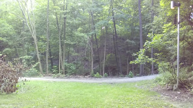
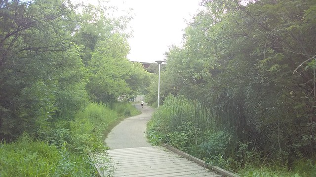
A staircase runs down the escarpment that marks the ancient shoreline of
Glacial Lake Iroquois from
Glenholme Avenue and Regal Road down to the
Davenport Road that follows the escarpment's contours.
Davenport Road was subject of a
2009 photo essay; the staircases are mentioned in a
plaque at the St. Clair streetcar's Glenholme Avenue stop.
At the beginning of the last great Ice Age, 120,000 years ago, Toronto lay beneath an ice-sheet more than 2 kilometres high. As the glacier retreated the meltwater created an inland sea, twice as large as present day Lake Ontario, called Lake Iroquois. The lake created a shore bluff between the Don and Humber Rivers, where the coastal waters of Lake Iroquois had a sharper drop-off. Silt and mud washed back into the lake, and sand and gravel formed a beach and spits.
As Lake Iroquois drained, first to the south and then through the St. Lawrence river, its water levels fell below those of the present time. This smaller body of water was called Lake Admiralty.
As Lake Admiralty rose to become today's Lake Ontario, the land north of the escarpment was open and rough, while to the south, the beginnings of Toronto merited the name "Muddy York".
Visit the 5 staircases along the escarpment for great views of Lake Ontario and the city.
This
art gallery page identifies five staircases, running west to east, in the neighbourhoods of "Glenholme, Via Italia, Hillcrest Park, Earlscourt Park [and] Spadina". (The staircase at Spadina is presumably the
Baldwin Steps located just below Casa Loma.)
Looking south takes the eye not only down towards Davenport Road but across the city. I wonder what the view must be like in winter without any leaves on the trees.