
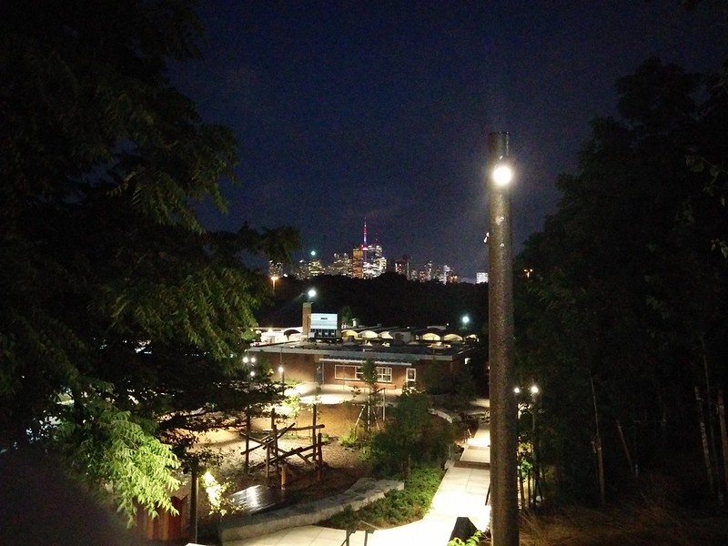
I was walking Tuesday night to the Museum of the Moon at the Bentway, coming west from the downtown, when I turned around where Front connected to Bathurst Street and decided to look back.


There are great vistas visible in the Entertainment District, whether one is looking east from the Scotiabank Theatre or south from a parking lot on Richmond Street.

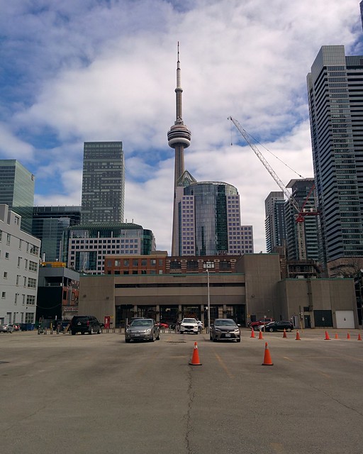

Late last month, I went to 533 King Street West in the heart of the Fashion District to see the Unzipped Toronto exhibition in Bjarke Ingels' reconstructed 2016 Serpentine Pavilion. These photos will be posted later today. For now, enjoy this one photo of the skyline looking east from the grounds.

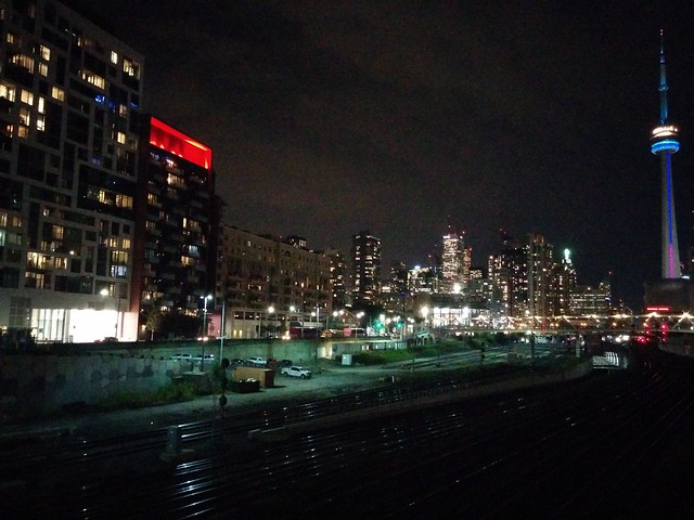
Even well past 9 o'clock on a Sunday evening, Bay and Front is a busy intersection.

- Toronto Life shares twelve photos of the CN Tower taken at different points during its 1970s construction.
- blogTO also shares some CN Tower construction photos.
- Torontoist notes the warning of real estate agents that continuing to rely on the land transfer tax, without other revenue sources, is a problem for the budget of the city.
- Jennifer Pagliaro notes at the Toronto Star that updated projections for the cost of the Scarborough subway extension won't be released until after the election. (I bet they will be leaked beforehand.)
- blogTO shares a series of maps imagining what the map of Toronto could have looked like had the city followed through on the many plans for transit expansion that it has since dropped.
- The Toronto Tool Library, due to unforeseen circumstances, is at risk of closing unless its crowdfunding efforts succeed. blogTO reports.
- Michelle Adelman notes at NOW Toronto that plans of evacuations in the event of a catastrophe at a nuclear plant in the GTA, particularly Pickering just east of Scarborough, need updating.
Tags:
- Edward Keenan celebrates at the Toronto Star the belated arrival of TTC bus service to Bluffers Park, at the foot of the Scarborough Bluffs. Why did it take so long, I wonder? I have walked that long narrow road too many times. Climbing the Bluffs is almost better.
- blogTO notes how, despite official hopes, TTC funding commitments will limit the extension of new services on the waterfront.
- Christopher Hume considers the aesthetics of some of the car dealerships on the east side of the downtown, clustered around the Don, over at the Toronto Star.
- Justin Skinner looks in the City Centre Mirror at the extent to which the condo-dominated CityPlace neighbourhood, in the area of the old Spadina Yards south of the CN Tower, has thrived and come to cohere.
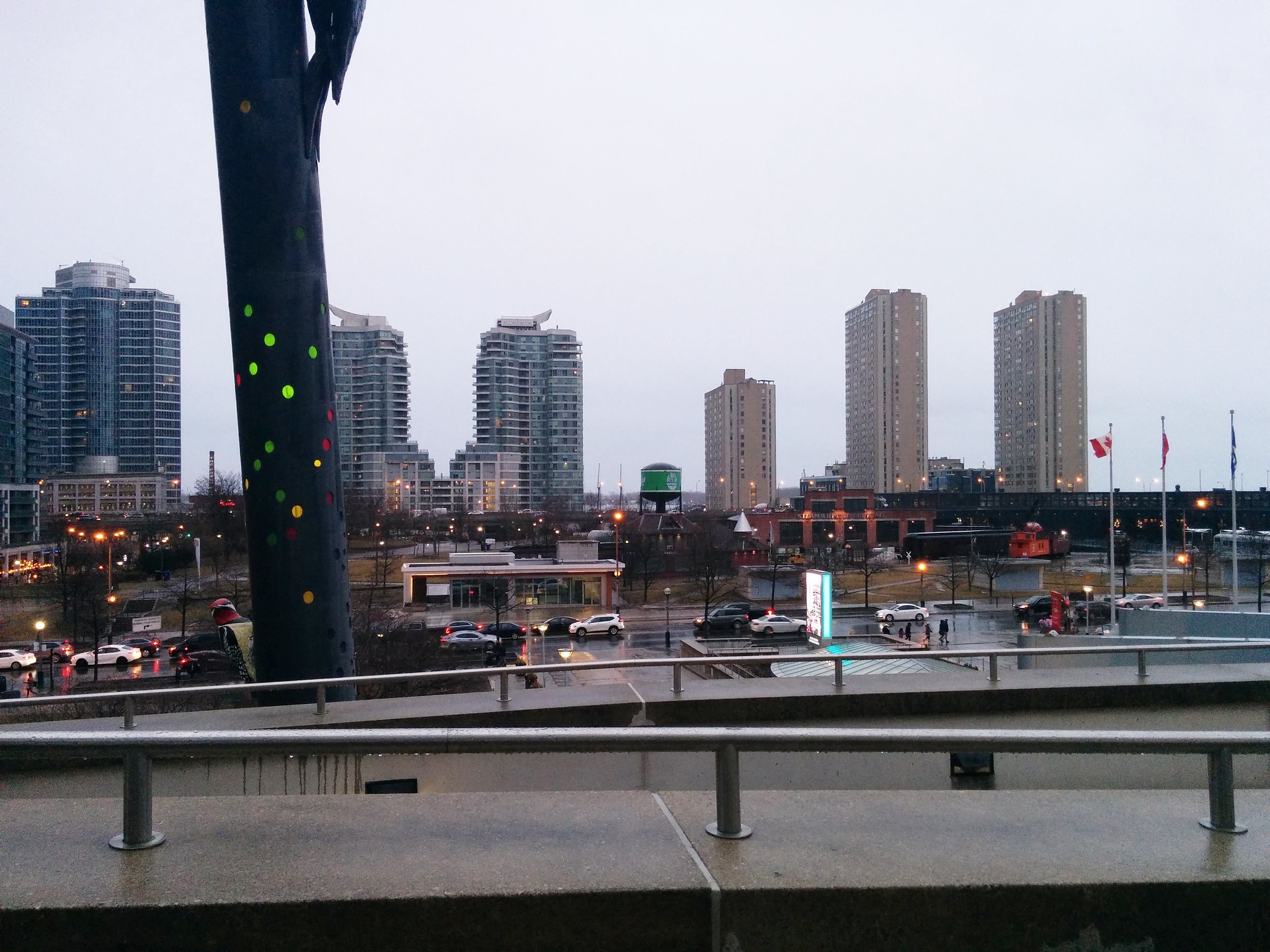
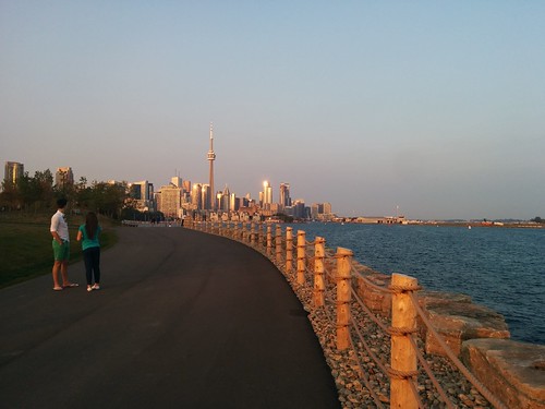
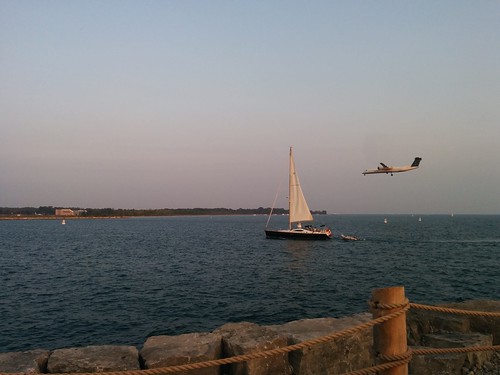
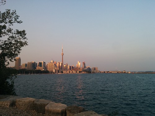
This post, last of my four from Ontario Place, shows some of the things I saw heading east back to the mainland of Toronto, past the architecture of Ontario Place and along the William C. Davis Trail i Trillium Park. The views this trail offers, of the Toronto skyline and of the Toronto Islands, are unparalleled.

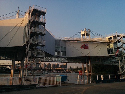

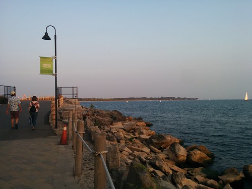


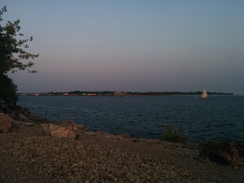
Back on the 21st of September, I posted a series of photos that I took just east of Ontario Place, in the area of the new Trillium Park. I had continued exploring west of Trillium Park, into Ontario Place, but I had never gotten around to posting my photos of Ontario Place in all of its mid-20th century modernist grandeur.


There will be more photos tomorrow.
There will be more photos tomorrow.
Tags:
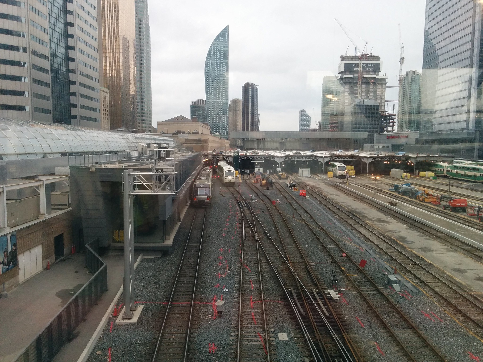
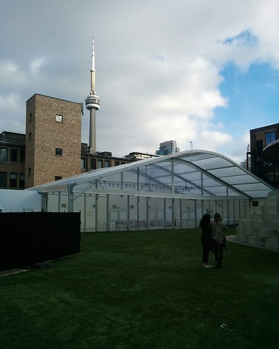
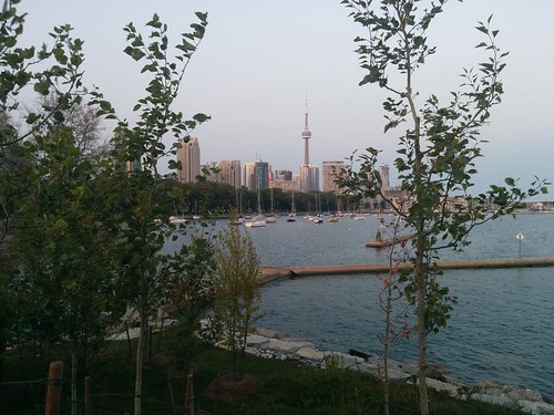
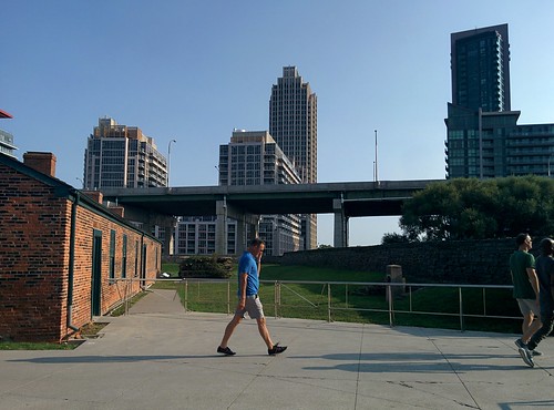
On my Sunday visit to Fort York, I was struck by how this fort is now a green space engulfed in city, towers nearby in South Core to the east and further away in Liberty Village to the west, girdled by the Gardiner Expressway to the south and by the rail tracks to the north. It's an anachronistic island, of sorts.


The rear staircase of the Art Gallery of Ontario, extending five stories above Grange Park and overlooking the skyline of downtown Toronto, offers dramatic vistas.


